In this article
In this article
Andorra has over 60 glacial lakes scattered across its valleys and mountains. My name's Manuel, I was born and raised in Andorra, and I've been to many of these lakes since I was a kid. What I love the most is that in most of them you can swim (unless there's a sign saying otherwise). It's one of my passions: jumping into the cold mountain water after the hike.
First, I'll tell you about the easy-access lakes, then how swimming in the lakes works, and then I'll introduce the most iconic lakes of Andorra. At the end I've put together a list of lakes by area with links to Visit Andorra routes, in case you want to explore more. If you want a broader overview of what to do in the country, check out my Andorra 2-3 day itinerary.
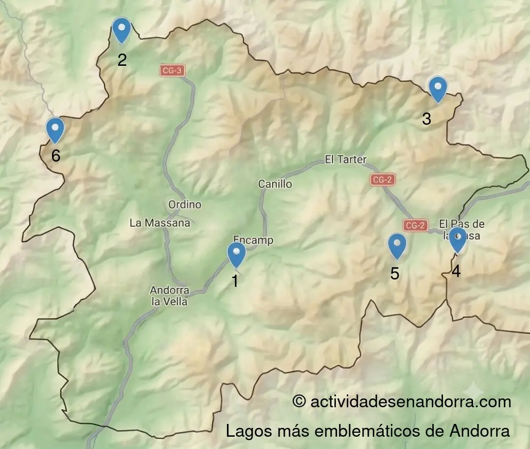
| # | Lake | Level | Time | Dist. | Swim |
|---|---|---|---|---|---|
| 1 | Engolasters | 20 min | 500 m | ❌ | |
| 2 | Tristaina | 1h20+ | 4.4 km | ✅ | |
| 3 | Juclar | 3h30+ | 9 km+ | ✅ | |
| 4 | Abelletes | 40 min | 2.5 km | ✅ | |
| 5 | Pessons | 1h20+ | 4 km+ | ✅ | |
| 6 | Llac Negre | 5h | 12 km | ❌ |
* Time and distance round trip. Vary depending on the route chosen, not your pace.
Easy Access Lakes
Most lakes are in high mountain areas and require hiking, but there are options with parking nearby and just a short walk. If you want more gentle strolls, I have a guide to the best easy routes in Andorra.
- Lake Engolasters — 15 minutes from the center of Andorra (Escaldes-Engordany/Andorra la Vella). There's a parking lot right next to it and you only need to walk about 10min. The loop around the lake is a flat 30-minute walk. Google Maps
- Estany de les Abelletes (Pas de la Casa) — Short 15-20 minute walk from the Costa Rodona parking lot. Perfect if you're coming from France, it's on the way. Google Maps
- Estanys de Pessons — The first lake is just a 40-minute walk from the Grau Roig parking lot. There's a 4x4 bus that goes up to the lake if you don't want to walk. If you want to see more, the full route is about 10-11 km. Google Maps
- Tristaina Lakes — You can drive to the Ordino Arcalís ski station and then take the cable car (runs in summer) or walk. To the first lake it's about 30-40min walking. Google Maps
If you haven't chosen accommodation yet, I recommend checking out hotels in Soldeu or El Tarter, from where you have quick access to the Pessons lakes, Abelletes lake and the Vall d'Incles lakes (Juclar, Siscarró).
Swimming in Andorra's Lakes
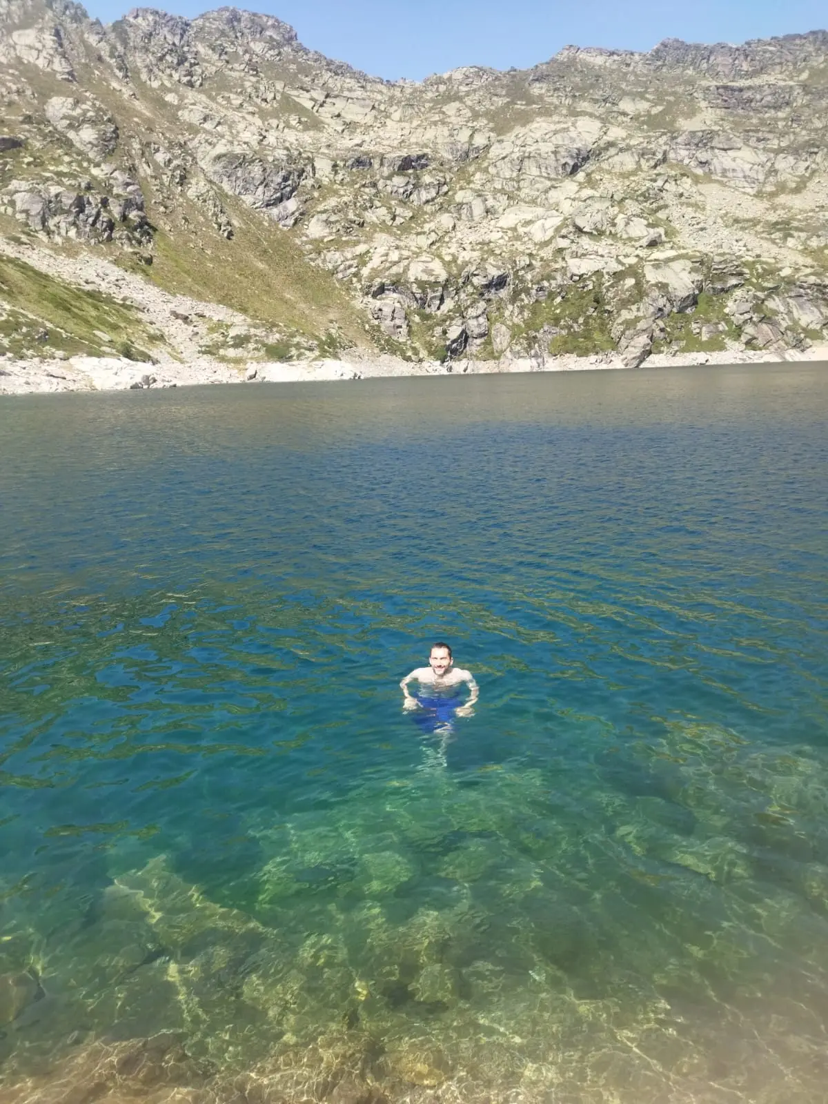
Something many people don't know is that by default, swimming is allowed in Andorra's lakes. Unlike other countries where it's usually prohibited unless stated otherwise, here it's the opposite: you can swim unless there's a sign explicitly prohibiting it.
That said, more and more lakes are introducing restrictions to protect the ecosystem. Here are the cases as of June 2026:
- Engolasters — Completely forbidden. It's a hydroelectric reservoir with infrastructure.
- Estany de l'Estanyó (Sorteny) — Prohibited since 2024 due to invasive algae and protection of the wood grouse. (source)
- Comapedrosa Lakes (Llac Negre, etc.) — Prohibited since June 2026. The new management plan only allows cooling off (putting your feet in), not swimming. (source)
In the rest of the lakes you can swim: Tristaina, Pessons, Juclar and most high mountain lakes. I always recommend checking for any signs before going in. That said, the water is cold.
If you also want to know where to swim in rivers, natural pools or swimming pools, I have a complete guide on where to swim in Andorra with the exact spots in the rivers (Encamp, Canillo) and the municipal pools of each parish.
The Most Iconic Lakes of Andorra
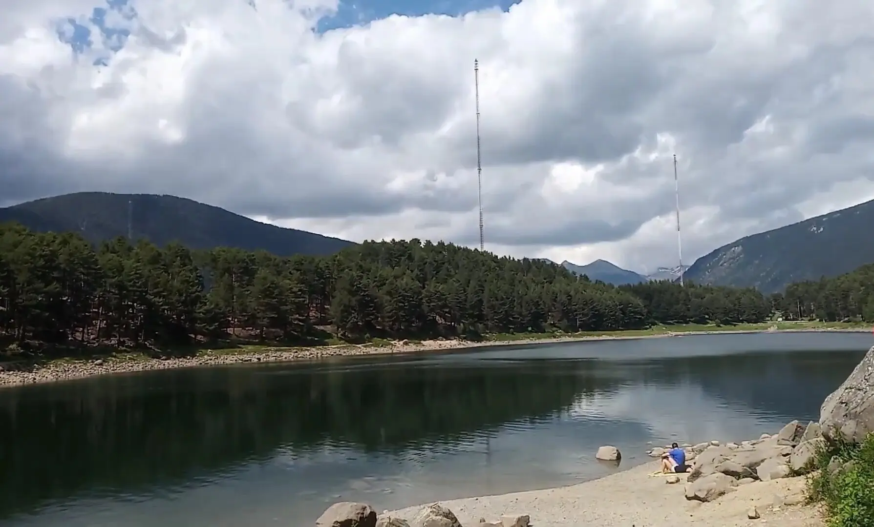
Lake Engolasters — The Most Accessible
- 🎯 Difficulty: Easy
- ⏱️ Duration: 10 min
- 📍 Location: Border between Encamp and Escaldes-Engordany
- 🏊 Swim: ❌ Prohibited
Lake Engolasters is by far the most accessible lake in Andorra. You can drive there, and there's a parking lot right next to it. It's at about 1,600 meters, much lower than the rest of the lakes, so you can visit year-round.
The lake is used for hydroelectric power, so swimming is prohibited. Still, it's worth it: the walk around the lake is lovely. Maps link for driving: Engolasters Lake Parking.
Next to the parking there's the Les Fonts Viewpoint from where you can see central Andorra between the mountains. From the parking it's 600 meters, well worth it!
For more details, photos and how to get there by bus or on foot from Encamp, I have a complete guide to Lake Engolasters.
Tristaina Lakes — The Popular Choice
- 📍 Location: Ordino (Arcalís)
- 🥾 Distance: 4.4 km (circular)
- ⏱️ Duration: 40 min - 2h (depending on how many you want to see)
- 📈 Elevation: ~210 m
- 🎯 Difficulty: Easy/Moderate
- 🚗 Car access: To the ski station
- 🏊 Swim: ✅ Yes
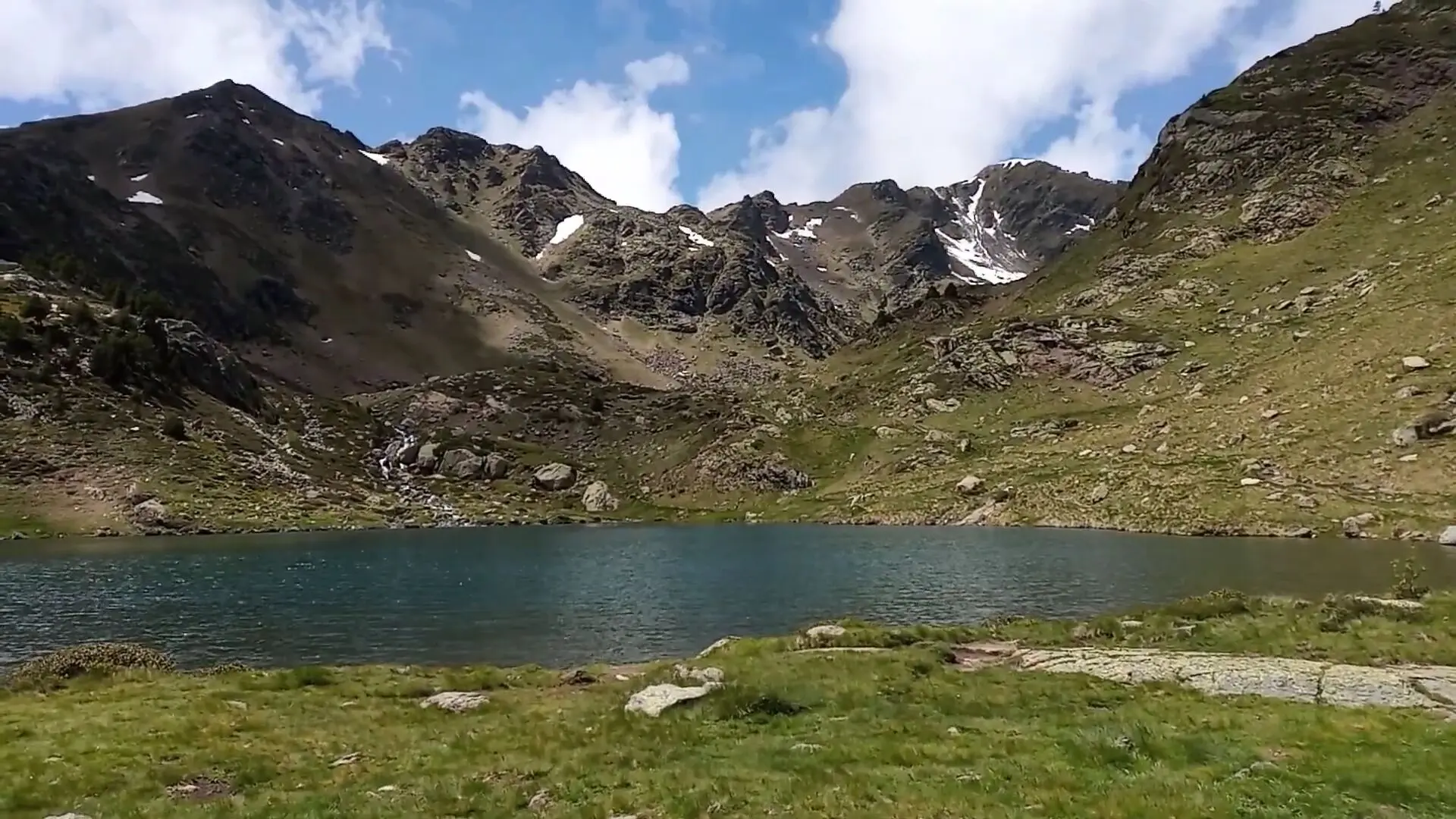
If you don't have much time but want to see mountain lakes, the Tristaina Lakes are the ideal choice. They're three glacial lakes —Primer, del Mig and Més Amunt— reached via a 4.4 km circular route with barely 200 meters of elevation. It's family-friendly and takes a couple of hours. Going just to the first lake takes about 30-40 minutes if you want a shorter trip.
The starting point is at Restaurante La Coma. In summer, car access to Coma del Forat is closed from 8:30 to 17:30, so if you go during those hours you need to take the cable car from the Arcalís station.
For more details on the route, cable car and how to get there, I have the complete Tristaina Lakes guide. Nearby there's also the Tristaina Solar Viewpoint, a platform with 360° views.
Llac de Juclar — The Largest Lake in Andorra
- 📍 Location: Canillo (Vall d'Incles)
- 🥾 Distance: 9 or 12 km (round trip)
- ⏱️ Duration: 3.5-6 hours (depending where you start)
- 📈 Elevation: ~583 m
- 🎯 Difficulty: Moderate-Hard
- 🚗 Car access: To Vall d'Incles
- 🏊 Swim: ✅ Yes
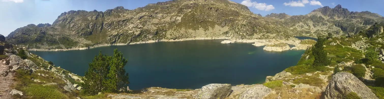
Llac de Juclar is the largest lake in Andorra, covering 21 hectares. It's in Canillo, within Vall d'Incles, which has several different routes.
How to get there: The route starts from the parking lot next to Restaurant l'Ovella Negra (Google Maps), at the end of the valley. In summer you can't drive all the way there because access is closed at the beginning of Incles. There's a shuttle bus that goes up to the parking lot. In 2025 it cost €4 round trip. You can't buy just one way, so bring enough cash. Taking the bus saves 3 km round trip. That section is all flat but saves time.
The route: From the parking lot, it's about 4.5 km to the lake with about 583 meters of elevation gain. You can do the round trip in about 3.5-4 hours if you're fast. It's not an easy route, but going slow it's accessible. I went with my sister and we managed fine.
When I saw the lake I was amazed at how crystal clear the water is. Definitely one of the most beautiful lakes in Andorra.
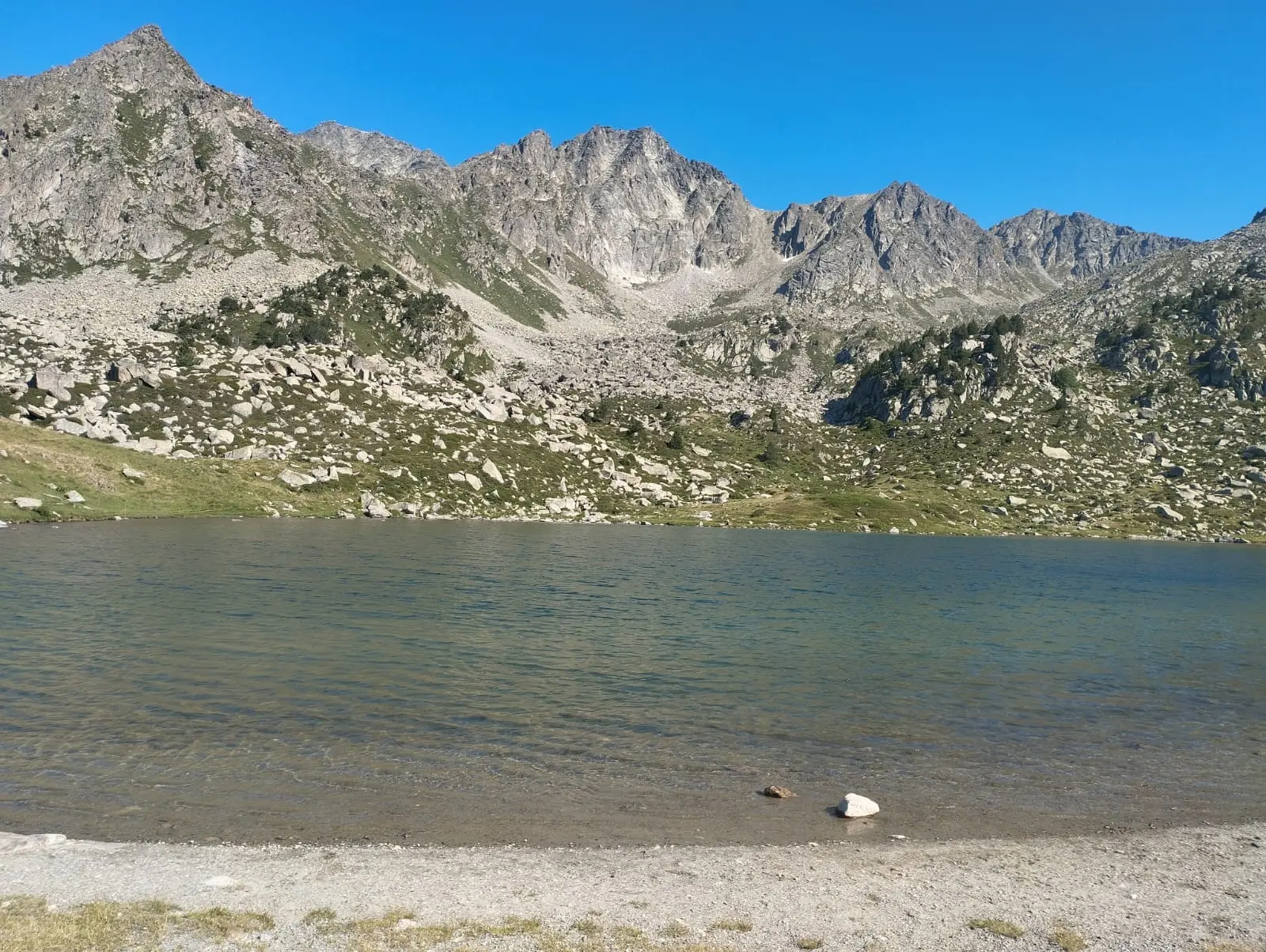
Estany de les Abelletes — The Express Lake of Pas de la Casa
- 📍 Location: Pas de la Casa
- 🥾 Distance: 2.5 km (round trip)
- ⏱️ Duration: 40 min (round trip)
- 📈 Elevation: Minimal
- 🎯 Difficulty: Easy
- 🏊 Swim: ✅ Yes
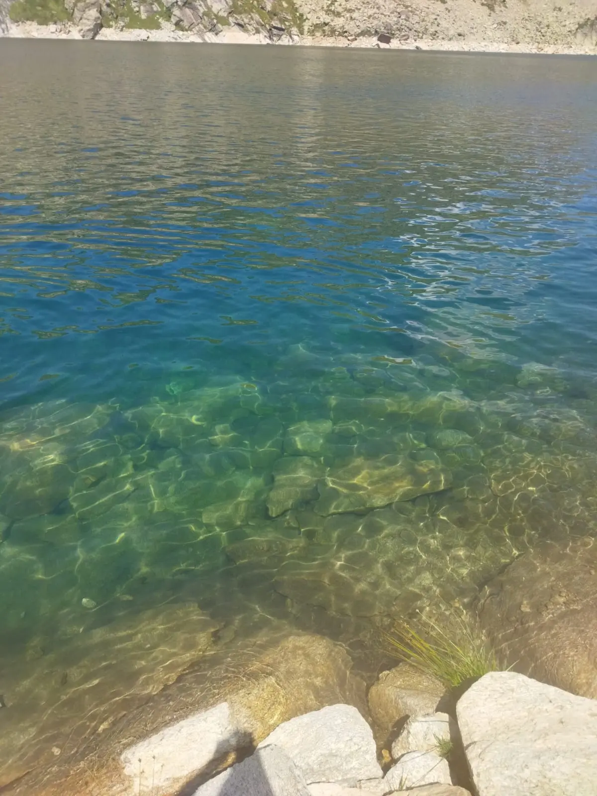
Estany de les Abelletes is one of the most accessible lakes in Andorra if you're in Pas de la Casa. If you're coming from France, it's on the way.
How to get there: Park at the Costa Rodona parking lot and from there it's just 15-20 minutes walking on an easy path. Full route
Since it's very close to the start of the Pessons route, you can combine it with a visit to the first Pessons lake. Perfect for going with kids or making a quick stop if you're passing through.

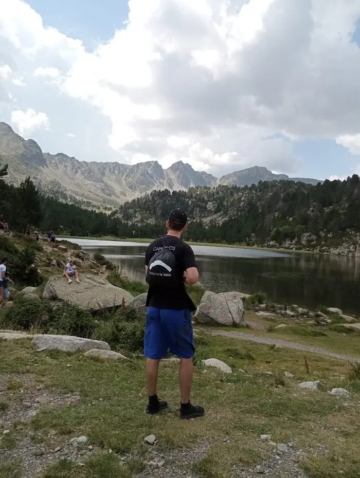
Estanys de Pessons
- 📍 Location: Grau Roig (Encamp)
- ⏱️ Duration: 40min - 4 hours (depending what you do)
- 🥾 Distance: ~10 km (full round trip)
- 📈 Elevation: ~530 m
- 🎯 Difficulty: Moderate
- 🏊 Swim: ✅ Yes
The Pessons glacial cirque is the best option if you want to see the most lakes in one go. Fun fact: it's the source of the Valira d'Orient river. This river merges with the Valira del Nord to form the Gran Valira in Escaldes-Engordany. The good news is that the first lake, Estany Primer de Pessons, is just a 30-40 minute walk away.
How to get there: Park in Grau Roig, at the El Cubil parking lot (🗺️ Google Maps). If you don't want to walk the first 3 km, there's a 4x4 bus that goes up to the lake. There's a mountain restaurant with views right there.
If you're up for more, the first 2 km are the toughest, but then the trail gets gentler and you pass by different lakes: Forcat, Rodó, Meligar, etc. This circular route is great and lets you see several lakes. Circular route on Wikiloc.
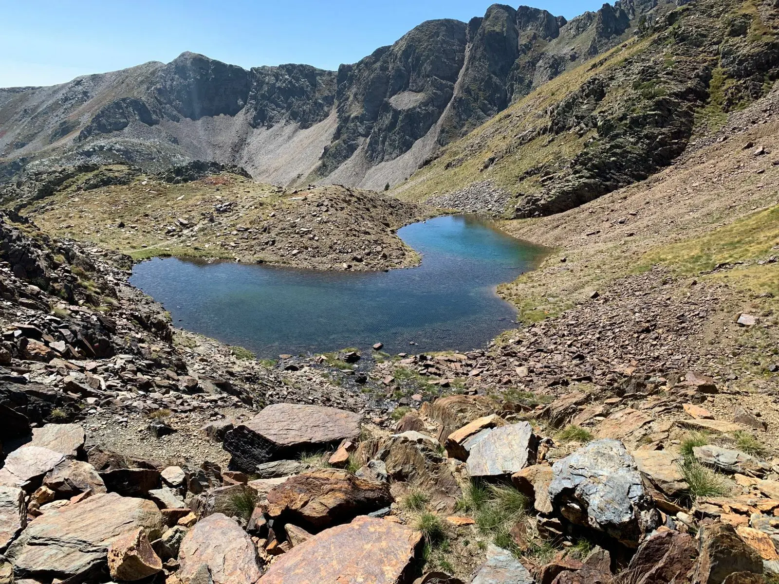
Llac Negre de Comapedrosa
- 📍 Location: La Massana (Arinsal)
- 🥾 Distance: ~12 km (round trip)
- ⏱️ Duration: 5 hours (round trip)
- 📈 Elevation: ~1000 m
- 🎯 Difficulty: Hard
- 🏊 Swim: ❌ Prohibited (cooling off only)
Llac Negre is in the Comapedrosa Natural Park, home to Andorra's highest peak, Comapedrosa (2,942 m). The route starts in Arinsal and first passes by the Comapedrosa Mountain Hut, where you can stop for a bite. Some people do the peak in two days and stay overnight at the hut. The hardest part is the climb to the hut. After that it's quite flat to the lake.
The lake is on the way to the Comapedrosa peak. I didn't know about this lake and discovered it on my way to the peak — it was a pleasant surprise.
How to get there: The route to Llac Negre starts from Arinsal heading towards the Comapedrosa peak.
I parked here: at the parking lot across from the hotel.
The route starts here: Comapedrosa trail start.
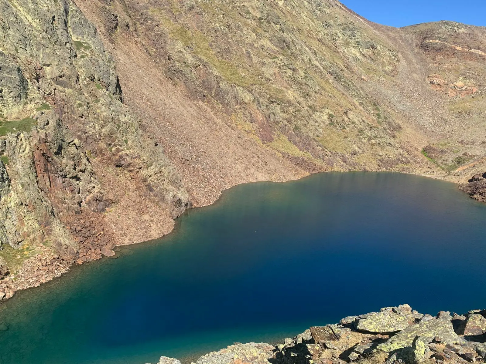
Important: since June 2026, the new Comapedrosa management plan prohibits swimming in the lakes. Only cooling off (putting your feet in) is allowed. The regulations also ban bicycles and drones. Information published on RTVA.
When to Visit Andorra's Lakes
The official recommendation for routes above 1,700m (all lakes except Engolasters) is to go between June and September. If the weather is good, you can also go in May or October.
What to Bring for the Lakes
If you're going above 2,000 meters in the Pyrenees, use this checklist:
- Hiking boots — Trainers won't cut it for routes like Pessons or Juclar
- Layered clothing — In summer it can be 25°C down below and 10°C up top
- Waterproof jacket — Afternoon storms are common in July and August
- Water — Minimum 1.5L per person; no guaranteed water sources at high altitude
- Food — Sandwich or nuts; some huts have kitchens, but not all
- Sunscreen and sunglasses — Altitude multiplies UV intensity
- Swimsuit and towel — If you want to swim, let it dry in the sun while you walk
- Map or GPS track — Download the route before leaving, coverage disappears in many valleys
Looking for accommodation to explore these lakes?
Hotels in mountain areas with direct access to hiking trails and lakes
Andorra Lakes by Area
Lakes in Andorra are usually grouped together, with several in the same areas. If you want to do more than one without moving too much, this list by area is helpful. For each area I mention the most famous ones. For those with a Visit Andorra page, I include the link with route details.
You can also see the complete list of Andorra's lakes on Wikipedia with all of them.
Vall d'Incles (Canillo)
- Estany de Juclà — My guide · Visit Andorra
- Estany de Cabana Sorda — Visit Andorra
- Basses del Siscaró — Visit Andorra
Pessons Cirque (Grau Roig)
- Cap de Pessons (multi-lake route) — Visit Andorra
- Estany Primer de Pessons — My guide · Visit Andorra
- Estany de Montmalús — Visit Andorra
Comapedrosa (Arinsal)
- Estany de les Truites — Visit La Massana
- Estany Negre — My guide
Tristaina, Sorteny and Valira del Nord (Ordino)
- Tristaina Lakes (Primer, del Mig, Més Amunt) — My guide · Visit Andorra
- Estany de l'Estanyó (Sorteny) — Visit Ordino
Madriu-Perafita-Claror Valley (Andorra la Vella/Escaldes-Engordany/Encamp)
- Estany de la Nou — Visit Andorra
- Estany de l'Illa — Visit Andorra
Coronallacs: The Route Connecting Andorra's Lakes
If reading this has made you want more, the Coronallacs is a 92 km circular route that connects the most iconic lakes of Andorra passing through the 4 mountain huts of the country (Illa, Juclà, Sorteny and Comapedrosa). In total it's 5 stages between 13 and 22 km each, with a cumulative elevation gain of over 5,300 meters, and it's considered one of the most challenging routes in the Pyrenees.
The route passes through some of the lakes I mention in this guide —Pessons, Juclar, Llac Negre— and shows you others like Estany de Cabana Sorda or Estany de l'Estanyó. In total it's about 20 lakes along the way. It runs from June to October, when the huts are open.
If you're up for it, you have all the info on stages, reservations and huts on the official website: coronallacs.com.
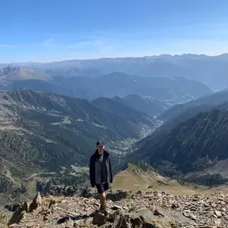
Born and raised in Encamp, Andorra. In my free time I explore my country and share the best activities, trails and hidden spots that most travel guides don't mention.